Global

Olympic Games Poster, Stockholm, 1912.
This is an image of a poster advertising the 1912 Summer Olympic games held in Stockholm, Sweden. This particular poster was created by the artist Olle Hjortzberg as part of an advertising campaign.
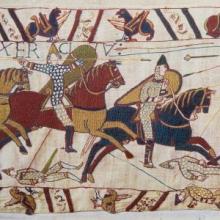
Analyzing Primary Sources on Women in World History
Traditionally, historical writing focused on elites and often rendered women invisible unless they were queens or empresses.
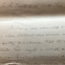
Short Teaching Unit: The Omani Empire and the Center of the Emerging Global Economy, 1500-1850
This essay pushes back against European-dominated narratives of world history to suggest that the Omani Empire was a crucial space for the emergence of our present-day system of global capitalism.
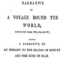
Short Teaching Module: Global Microhistory and the Nineteenth-Century Omani Empire
In their primer essay, Jessica Hanser and Adam Clulow note how scholars of global microhistory explore relationships between macro and micro, deep structures and contingency, and big state actors and minor players.
Short Teaching Module: Spatial Histories of Law, Race and Empire
Law is not only to be found in doctrine and documents, but also in structures and materials, in buildings and in cloth, in paintings and in photos.
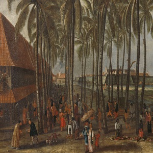
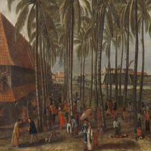
The Batavia Castle
Seventeenth-century market in the city Batavia (nowadays Jakarta, Indonesia), the central node of Dutch imperial activities in the Indian Ocean region. The Batavia Castle is visible in the background and to its right the Council of Justice with the gallows and whipping post in front of it.
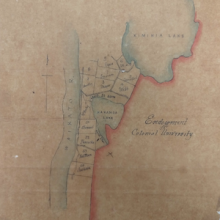
Primer: A Global History of Higher Education
Histories of higher education tend to focus on a single institution – the university biography – or address the subject within the context of the nation-state.

Short Teaching Module: Global Approaches to Maritime Trade in Colonial North America
Traditional narratives in American history, especially in colonial history, tend to focus primarily on British policy and British trade networks. Taking a global approach to the maritime trade of British America in the colonial era provides a better understanding of the actual economy, however.
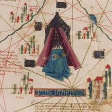
Short Teaching Module: Examining Early Genoese Voyages through Maps
The medieval Genoese ranged from China to the Atlantic, and their experience in navigation, the sugar industry, and the slave trade were the elemental foundation of Iberian colonial expansion.
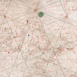
Nautical Chart, 1385
This nautical chart is signed by Majorcan cartographer Guglielmo Soler and dated to 1385, and ranges from the Black Sea to the Atlantic. Less beautiful than the Catalan map, it was also more practical for navigators to use.