Early Modern (1450 CE - 1800 CE)
Analyzing Personal Accounts
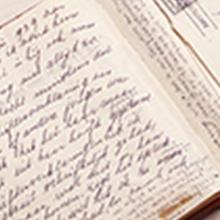
Personal accounts, including memoirs, journals, diaries, autobiographies, and life histories, are important historical sources that help us understand the human condition. These are the stories we tell about our lives that usually portray a larger picture of a life in historical context.

Memoirs and Poems of Phillis Wheatley
Phillis Wheatley (c.1753-1784) was an enslaved African American poet and author. Despite this, the work Memoirs and Poems of Phillis Wheatley was compiled and the memoirs themselves written by Margaretta Matilda Odell, a supposed "collateral descendent of Mrs.

Short Teaching Module: Global Approaches to Maritime Trade in Colonial North America
Traditional narratives in American history, especially in colonial history, tend to focus primarily on British policy and British trade networks. Taking a global approach to the maritime trade of British America in the colonial era provides a better understanding of the actual economy, however.

Bill of Lading of a ship from Piscataqua to Bilbao in Spain, 1721
This bill of lading is a standard form used in shipping in the 18th century.
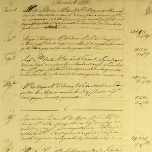
Lisbon Port Entry List for Colonial American Ships, 1771
This is just one example of thousands of pages and documents that the Portuguese use to manage and record the trade coming in and out of their ports.
Short Teaching Module: Examining Early Genoese Voyages through Maps
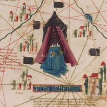
The medieval Genoese ranged from China to the Atlantic, and their experience in navigation, the sugar industry, and the slave trade were the elemental foundation of Iberian colonial expansion.
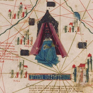
Catalan Map of the World, c.1450
Dated to the mid-fifteenth century, this Catalan world map is over a meter in diameter on a sheet of vellum (high-quality parchment made of calfskin). Unlike many other surviving charts, this was not meant for practical navigation, though it was based on such nautical charts.
Short Teaching Module: Making Empire Global - British Imperialism in India, 1750-1800
The study of world history has often overlapped with scholarship on empire and imperialism.
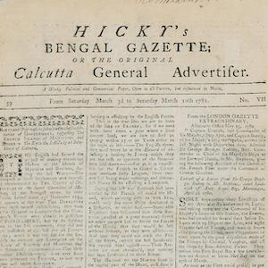
Hicky's Bengal Gazette
Hicky’s Bengal Gazette was the first printed newspaper to be published in India.

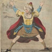
Cartoon Depicts Debate at Hasting's Impeachment Trial, 1788
Printed in London in 1788, this satirical print was a response to the debate unleashed by the impeachment trial of Warren Hastings, the former and first Governor General of India, as well as the impeachment proceedings initiated against Elijah Impey, the former and first Chief Justice of the Supr