Early Modern (1450 CE - 1800 CE)

Cartoon Mocking British Policy toward India, 1788
This satirical print from 1788 constituted a cartoonist’s effort to make sense of and criticize growing governmental control over territories in South Asia.

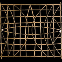
Mijikenda textiles
Words are historical ar

Short Teaching Module: Precolonial Kenya, a Small-Scale History
World historians like to focus on large-scale interactions between d
Short Teaching Module: History of the Pacific Ocean
Scholars of Pacific history explore how people build lives dependent on the ocean, how maritime connections create communities, and how humans and the environment shape each other.
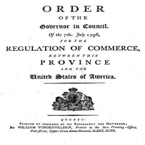
Quebec Order, 7 July 1796
Only a few years after the ratification of the United States Constitution in 1788 and following the peace treaty signed between the U.S.
Analyzing Official Documents
Official documents produced by governments, supranational organizations, courts of law, and more are abundant in supply, but can be intimidating and confusing to approach. They are often filled with language that seems convoluted, emotionless, and highly technical.
Primer: Global Urban History
Urban history is a rich subfield of historical scholarship that examines life in urban spaces, how communities within cities interact and coexist, as well as the process of city formation and urbanization.
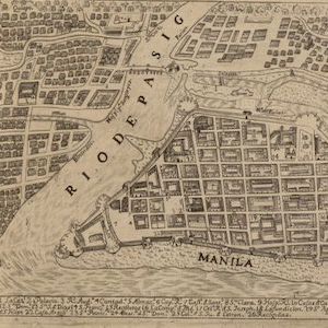
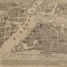
Map of the Philippines, 1734
The city of Manila is a perfect place to think about the importance of cities to world history.
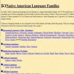
Native Languages of the Americas
Native Languages of the Americas is a potent and valuable resource for introducing historical and contemporary linguistics into the classroom as an extension of the discussion of native peoples in the Western Hemisphere.Source Collection: Analyzing Treaties between the Iroquois Confederacy and the English Colonies in the 18th Century
During the 18th century, interactions between native peoples and Europeans were a regular occurrence not just along the colonial frontiers, but in French, English, and Spanish cities across the continent.