Transportation

Short Teaching Module: Global Approaches to Maritime Trade in Colonial North America
Traditional narratives in American history, especially in colonial history, tend to focus primarily on British policy and British trade networks. Taking a global approach to the maritime trade of British America in the colonial era provides a better understanding of the actual economy, however.

Bill of Lading of a ship from Piscataqua to Bilbao in Spain, 1721
This bill of lading is a standard form used in shipping in the 18th century.
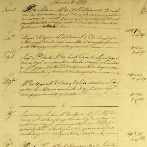
Lisbon Port Entry List for Colonial American Ships, 1771
This is just one example of thousands of pages and documents that the Portuguese use to manage and record the trade coming in and out of their ports.
Short Teaching Module: Examining Early Genoese Voyages through Maps
The medieval Genoese ranged from China to the Atlantic, and their experience in navigation, the sugar industry, and the slave trade were the elemental foundation of Iberian colonial expansion.
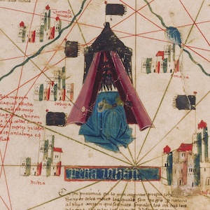
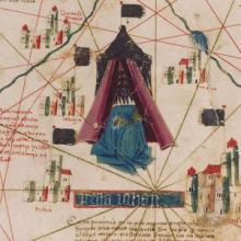
Catalan Map of the World, c.1450
Dated to the mid-fifteenth century, this Catalan world map is over a meter in diameter on a sheet of vellum (high-quality parchment made of calfskin). Unlike many other surviving charts, this was not meant for practical navigation, though it was based on such nautical charts.
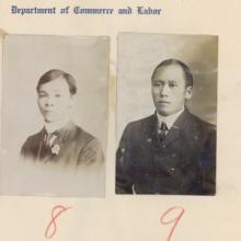
Primer: Borderlands History
Borderlands history studies the making and crossing of borders. While the term “borderlands” has no fixed definition, it can refer to spaces of encounter between different peoples and political entities.

Heading of east portal Tunnel No. 8
In the late nineteenth century, multiple transcontinental railroads were built across the United States and Canada. These were Pacific projects twice over: Each railroad aimed to open new routes for global trade with Asia, and each depended heavily on Asian laborers for their construction.
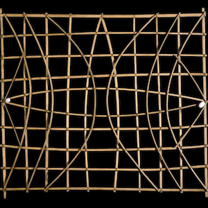
Marshall Islands stick chart
Across millennia, Pacific people voyaged out to sea and settled the ocean’s thousands islands and atolls, linking new discoveries back to existing territories.
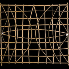
Short Teaching Module: History of the Pacific Ocean
Scholars of Pacific history explore how people build lives dependent on the ocean, how maritime connections create communities, and how humans and the environment shape each other.
