Browse
Transportation

Review
ORBIS: The Stanford Geospatial Network Model of the Roman World
This is a useful tool for educators to model how the Roman empire operated, as well as what those operations may have looked like in practice.
Review
Historic Government Publications from World War II
Easy to use, chockful of useful content, and easy to access even when offline, Historic Government Publications from World War II shows that repositories do not need to be overly complicated to achieve good things.
Review
Colonial North America at Harvard Library
Colonial North America at Harvard Library is an ambitious project that seeks to digitise Harvard’s vast collection of materials related to the North American colonies, circa the 17th and 18th centuries.
Source
Brazilian Carriage
This horse-drawn carriage dates from the late-eighteenth or early nineteenth century. During this period, carriages like this were the preferred form of transportation for elite members of society.

Review
Digital Library of the Caribbean
Educators, students, and scholars interested in understanding the strategic conflicts between European powers, the experience of Africans during the transatlantic slave trade, the emergence of the modern capitalist system, and the rise of neoliberalism would find in dLOC a wealth of content to draw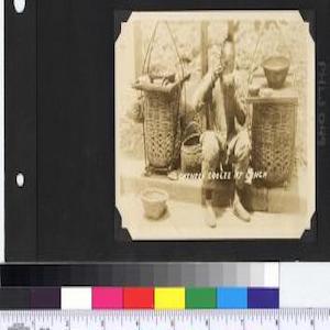
Review
Philippine Photographs Digital Archive
A simple yet powerful database that captures the intricacies of the relationship between the United States and the Philippines, the Philippine Photographs Digital Archive provides an important lens with which one can view changes in Filipino life over time.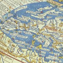
Methods
Analyzing Maps
The map is one of the oldest forms of nonverbal communication. Humans were probably drawing maps before they were writing texts. Mapmaking may even predate formal language. As far as historians and geographers can determine, every culture in every part of the world uses and makes maps.

Review
A History of the World in 100 Objects
Overall A History of the World in 100 Objects is a great resource to teach world history through visual culture in an accessible and succinct format for both school and college-level classes.
Source
Map of the Union Pacific Railway
This 19th century map illustrating the many places one could travel on the Union Pacific Railway is the product of a multitude of choices made by the mapmaker.

Review