Browse
Geography
Review
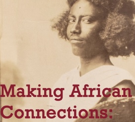
Making African Connections
This site focuses on the decolonization of South African artifacts and stories.
Source
For the glory of Ireland
Review
Teaching Central America
Teaching Central America provides educational materials for K-12 educators with the goal of centering Central American history and culture in primary and secondary classrooms.
Review
Teaching LGBTQ History
Teaching LGBTQ History is an organized and quality social-justice oriented educational resource that provides a wide diversity of adaptable lesson plans and connection to outside community-based and digital online resources.
Review
Girl Museum
The Girl Museum makes important interventions by placing girlhood more squarely into the teaching of history, literature, culture, and arts on a global scale.
Review
Archives Portal Europe
This website presents records from dozens of countries, in over 20 languages, and from around 7000 diverse archival institutions total including the national archives of dozens of countries and other smaller institutions.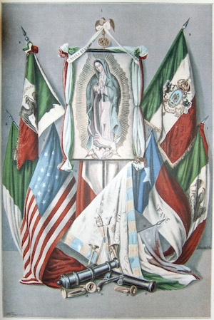
Review
A Continent Divided: The U.S. - Mexico War
The UT Arlington Library's Special Collection is considered amongst the most comprehensive repositories on the U.S. - Mexico war, containing broadsides, sheet music, manuscripts, maps and graphic materials from both U.S. and Mexican sources.
Review