Browse
Geography

Review
Online Museum Educational Resources in Asian Art
The OMuERAA connects with more than one hundred museums, making a rich array of educational materials available to students and instructors
Review
Albert Schatz Collection
Not only do these sources span a range of time periods, but they also span a geographical area.
Review
ORBIS: The Stanford Geospatial Network Model of the Roman World
This is a useful tool for educators to model how the Roman empire operated, as well as what those operations may have looked like in practice.
Source
Map of the Outskirts of Mexico City
This oil-on-canvas painting depicts part of Mexico City from above. Specific author or date information does not appear on the work, but it originates sometime in the seventeenth century. It is 119 centimeters wide. Analyzing its contents reveals some aspects of daily life during this period.

Review
The People’s Map of Global China
This website maps the international activities of Chinese businesses or government affairs, to create an idea of “Global China.”
Review
Native Land
It is a good place to start learning about knowledge generation and how indigenous groups and settlers can come together to document their histories.
Review
Travels Through Greco-Roman Antiquity
This website is an excellent primer into ancient Greek and Roman places and events, with references to other sources and maps that may aid in reconstructions of the area.
Review
Paris Past and Present
This site works as a supplement to classroom discussions about urban architecture in medieval France, or even for [those] who want to see visual reconstructions of the historical buildings.
Review
Lynching in the United States: 1883-1941
...this source expands the subject of lynching's to include other minority groups in the US beyond black Americans, as well as white Americans.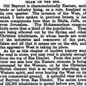
Source
Islam on the Ebb
This article is one of many newspaper articles coming out of Britain in the late nineteenth century. It reports that families in Beirut were becoming wealthy.