Geography

The League of Nations Archive
The archive offers an extensive array of primary sources that can be used in the study of global history, international relations, transnational conflict, national border creation, migration, human rights, and historical personages.
Exploring Africa
Its goal is to provide high quality resources about Africa and its nations for K-12 educators. Teachers and students can learn about themes relating to African history and information about specific countries in a well-researched, easily digestible format.
Olympic Museum
The modern Olympic Games have become a symbol of international cooperation and sportsmanship. The IOC states that the Olympics are a forum “where the world comes to compete, feel inspired, and be together."
Nobel Peace Center
However, most notable is their partnership with Minecraft Education. The Peace Center offers two Minecraft learning landscapes, Peace Builders and Active Citizen, both are targeted at students aged 8-15.Al-Umari’s Account of Mansa Musa’s Visit to Cairo
Mansa Musa was the leader of the Mali empire in the fourteenth century and reportedly the wealthiest person – allegedly ever. The empire covered modern-day Mali and parts of Guinea, Senegal, Mauritania, and the Gambia, and Mansa Musa expanded the territorial claim to include Gao and Timbuktu.

Poverty Point in Louisiana, United States
Poverty Point is a prehistoric earthenwork site featuring mounds, ridges, and a ceremonial plaza located in northeastern Louisiana, United States.

The Cahokia Mounds State Historic Site
The Cahokia Mounds State Historic Site is an archaeological site of a pre-Columbian Native American city located in southwestern Illinois, near St. Louis, Missouri.
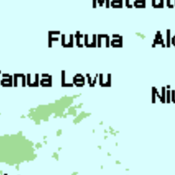
Tu'i Tonga Empire Map
The Tu’i Tonga Empire was an Oceanic maritime chiefdom centered on the island of Tongatapu, the main island of Tonga, and flourished between 1200-1500 CE.

Te Paranihi, or Maori War Canoe
Te Paranihi is a 17-meter (55 feet) war canoe, or waka taua, from the Maori culture indigenous to New Zealand.
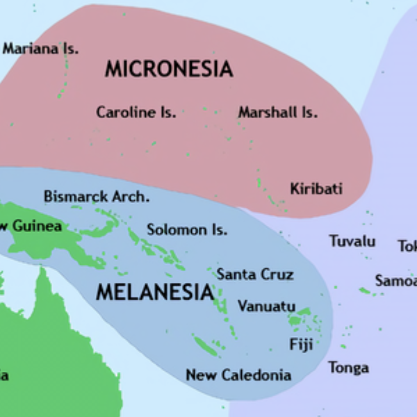
Pacific Culture Areas Map
This map illustrates the three dominant cultures in Oceania, Micronesia, Melanesia, and Polynesia, and which islands occupy each region. This map successfully highlights the number of island nations/cultures and the overall size of Oceania.