North/Central America

Poverty Point in Louisiana, United States
Poverty Point is a prehistoric earthenwork site featuring mounds, ridges, and a ceremonial plaza located in northeastern Louisiana, United States.

Altar from the Classic Maya Period
This limestone altar was created by the Maya culture sometime between 300 and 900 CE and found in Belize in Central America. The altar is round and was carved with twenty glyph blocks on top, which are now faded and display cracks but also attempts at repairs.

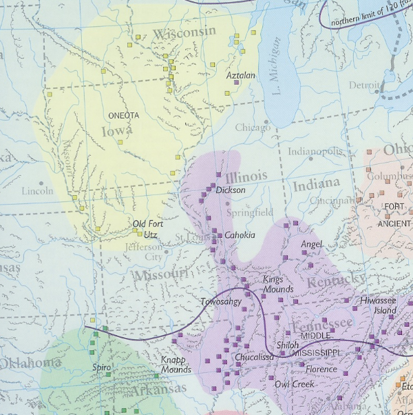
The Cahokia Mounds State Historic Site
The Cahokia Mounds State Historic Site is an archaeological site of a pre-Columbian Native American city located in southwestern Illinois, near St. Louis, Missouri.
The Moundbuilders' Art: A Confluence of 'Ingenuity, Industry, and Elegance'
The amount of information and resources included in the exhibit are targeted and would likely not overwhelm a high school student. Alternatively, the site is full of resources that could be used separately, especially for younger students.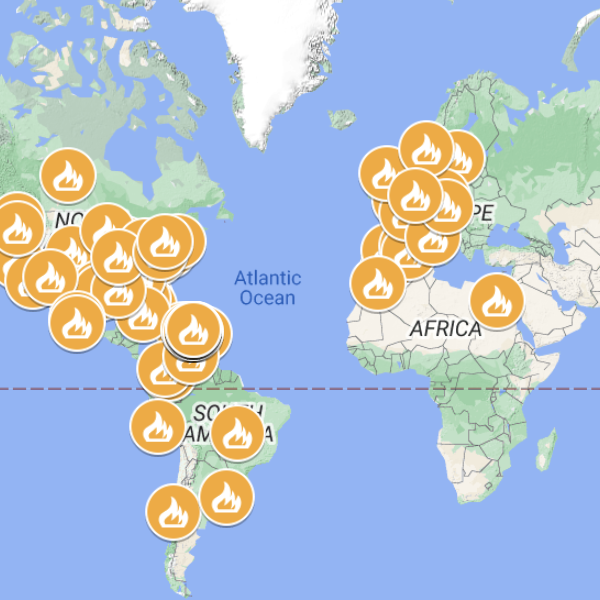
Map with Many of the Protests in Puerto Rico and the World 2019
An event in Puerto Rico that captured world attention and motivated the interest of many Puerto Ricans in the diaspora to participate was the Summer of 2019 movement.
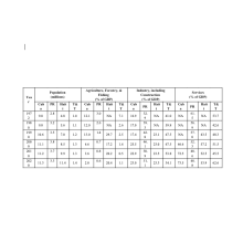
Economic Diplomacy in the Caribbean Since the Second World War
Economic affairs are an essential part of world history and, even more so, in contemporary times after World War II, when globalization processes with higher levels of interdependency and proximity among individuals and countries are increasingly observed.

One Voice SOMOS Live! A Concert for Disaster Relief
Several Caribbean public figures (Puerto Rican artists Jennifer López and Marc Anthony and baseball player Alex Rodríguez) served as ambassadors of the Greater Caribbean before the world, to raise funds to address the immed
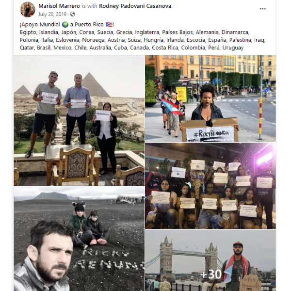
Solidarity Expressions from the Puerto Rican Diaspora
An event in Puerto Rico that captured world attention and motivated the interest of many Puerto Ricans in the diaspora to participate was the Summer of 2019 movement.
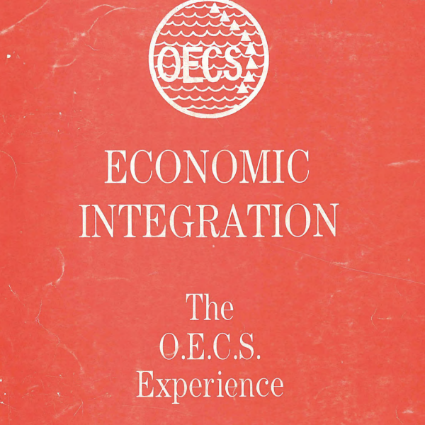
OECS Treaty Publication Fragments
The OECS published in 1988 a booklet explaining the treaty that founded it (OECS 1988). A fragment is included in the photos here.
Transcript of the Treaty of Basseterre of 1981
To capture the diplomatic side of Caribbean economic history from the point of view of the governments, official documents describing economic policies, joint strategies, and related decision-making processes in the Caribbean