Migration/Diaspora
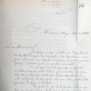
Chilean Consul Writes of Immigrants Seeking to Avoid Military Service, 1865
This document is a portion of a letter, written by José de la Cruz Zenteno, the Chilean consul in Mendoza, Argentina to the Minister of Foreign Relations in Chile is from the National Archive of Chile. Mendoza was and is an Argentinian province that borders Chile.
Chilean Consul Writes of Immigrants Needing Assistance, 1864
Found in the National Archive of Chile, this is a letter from José de la Cruz Zenteno, the Chilean consul in Mendoza, Argentina to the Minister of Foreign Relations in Chile. Mendoza was and is a province that borders Chile.
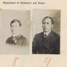
Primer: Borderlands History
Borderlands history studies the making and crossing of borders. While the term “borderlands” has no fixed definition, it can refer to spaces of encounter between different peoples and political entities.

Heading of east portal Tunnel No. 8
In the late nineteenth century, multiple transcontinental railroads were built across the United States and Canada. These were Pacific projects twice over: Each railroad aimed to open new routes for global trade with Asia, and each depended heavily on Asian laborers for their construction.
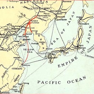
Southern Manchuria Railway (1906-1945)
The world’s earliest locomotive-operated railroads, short stretches transporting coal and ore locally from mines to factories and furnaces, were developed in Britain between 1800 and 1825.
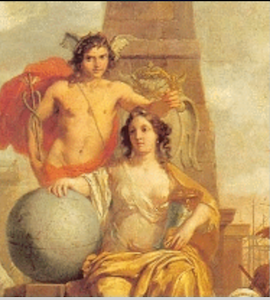
ECARTICO: Early Modern Cultural Industries
In addition to searching and browsing individual entries, ECARTICO allows users to visualize the relationships and links between cultural workers using quantitative data.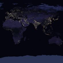
Primer: The History of Globalization
Globalization, defined here as the integration of an interdependent economy that simultaneously enhances cultural exchanges relying on the mobility of people, animals, plants, pathogens, objects, and ideas, is a useful concept for exploring connections across space and time.
