Modern (1800 CE - 1950 CE)

Germany: Memories of a Nation
"...MacGregor uses different artifacts and places to discuss specific topics or themes central to German identity, as well as providing historical context for each discussion."
Visualizing Energy:
By combining written analysis with data visualizations, this project displays how energy policy can affect health and equity in a way that makes it interactive and easy to understand.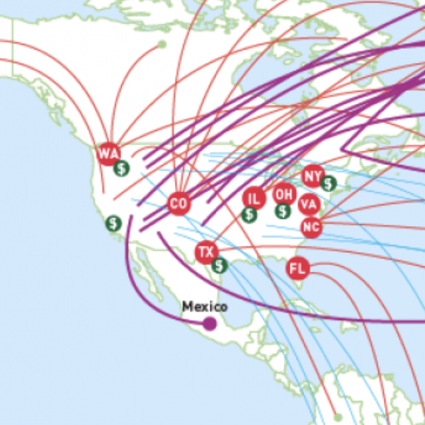
Globalizing US History
The strength of this site comes from the thorough lesson plans included in the modules. Further, the secondary and primary sources included in each would be a good classroom tool.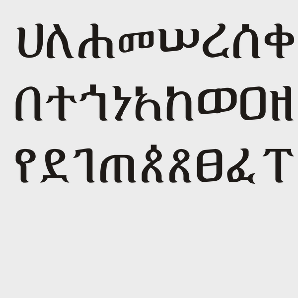
Ge'ez Script
Ge’ez script is a script used in modern-day Eritrea and Ethiopia that dates back to the 1st century CE.
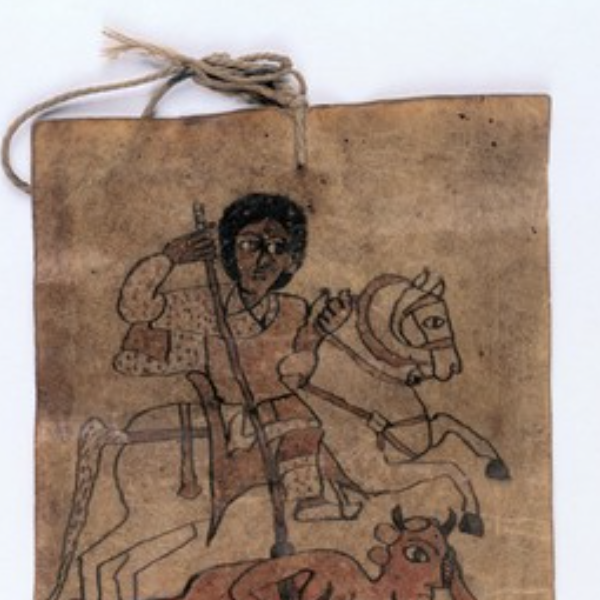
Ethiopian Healing Scrolls
Ethiopian healing scrolls are believed to eliminate sickness by ridding spirits and demons from an ill person. Originating sometime between the 1st and 8th century CE in the Axum empire, the scrolls are still used to this day, and still written in the Ge’ez script of the Axum empire.
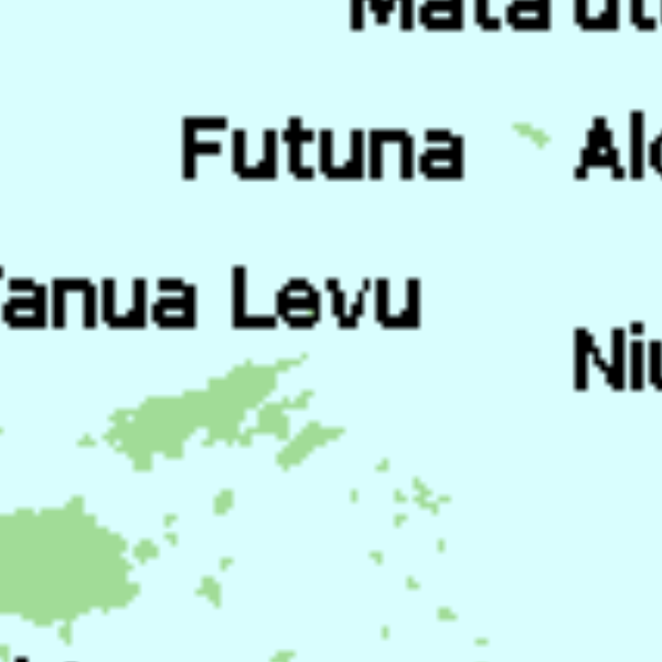
Tu'i Tonga Empire Map
The Tu’i Tonga Empire was an Oceanic maritime chiefdom centered on the island of Tongatapu, the main island of Tonga, and flourished between 1200-1500 CE.
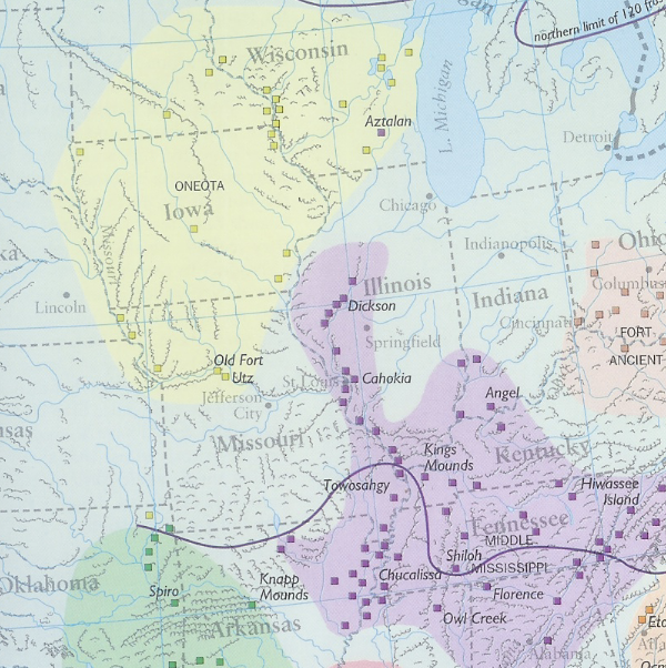
The Moundbuilders' Art: A Confluence of 'Ingenuity, Industry, and Elegance'
The amount of information and resources included in the exhibit are targeted and would likely not overwhelm a high school student. Alternatively, the site is full of resources that could be used separately, especially for younger students.
Te Paranihi, or Maori War Canoe
Te Paranihi is a 17-meter (55 feet) war canoe, or waka taua, from the Maori culture indigenous to New Zealand.
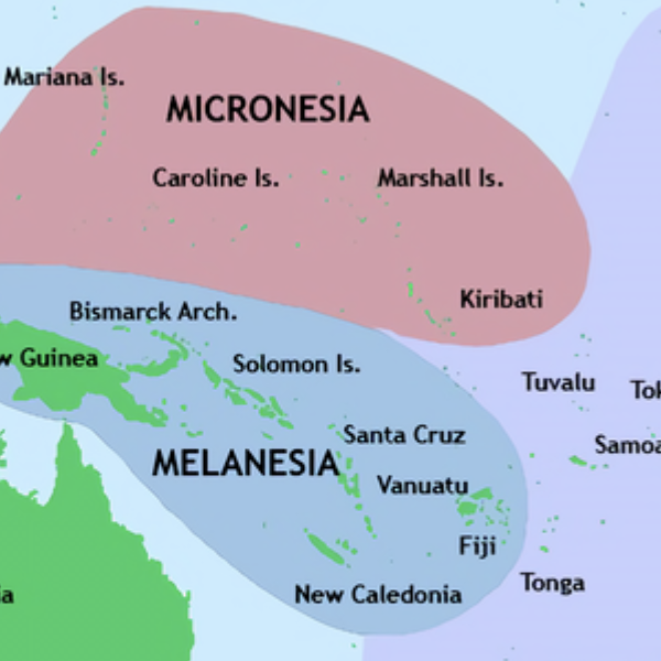
Pacific Culture Areas Map
This map illustrates the three dominant cultures in Oceania, Micronesia, Melanesia, and Polynesia, and which islands occupy each region. This map successfully highlights the number of island nations/cultures and the overall size of Oceania.
Polynesian Oral Traditions
This collection compiled by Rawiri Taonui, a professor of Indigenous Studies, includes creation myths and stories about gods, the origin of humanity, and cultural heroes for several Polynesian cultures, such as Hawaii, Samoa, Tonga, Tahiti, and numerous others.