Browse
Global

Review
World Digital Library
The World Digital Library is a free online archive of over 19,000 culturally significant primary source materials from around the world.
Review
Constitute: The World’s Constitutions to Read, Search, and Compare
Constitute provides full text for almost all active constitutions around the globe, making it a powerful teaching tool for government, political history, and civic engagement.
Methods
Analyzing Primary Sources on the History of Children & Youth
How do you study the history of young people? What can primary source documents reveal? What limitations do they pose? What light can the history of young people shed on the past?

Review
Hanover Historical Texts Project
The project has taken a selection of more than 115 primary texts in the public domain, in English or translated into English, and made them available to anyone with Internet access.Review
Southeast Asia Visions Collection
The range of sources and their ready accessibility also provides valuable material for work on diverse Southeast Asia topics related to local, regional, and global history.
Source
Cholera Transmission
This map, created by Dr. John C. Peters and featured in the April 25, 1885 edition of Harper's Weekly, depicts the spread of cholera throughout the world and the major cholera pandemics that occurred in the nineteenth century.

Review
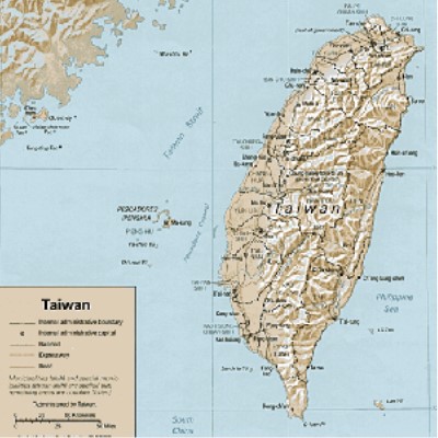
Taiwan Documents Project
This site seems most valuable not as an unbiased repository of information, but rather as part of the movement for Taiwanese independence and more generally as a historical case study in the politics of national identity.
Review
Map Section Image Database
The Walker Collection comprises 135 maps, printed between 1511 and 1774, that cover Asia Minor and surrounding areas including the Mediterranean, the Middle East, and the Balkans.
Review
International Dunhuang Project
The IDP, based at the British Library in London, is an international collaborative effort to catalog, conserve, and encourage research of Silk Road artifacts. This website, which currently displays around 20,000 digitized images of these artifacts, is one product of this larger effort.
Review