Browse
Trade
Review
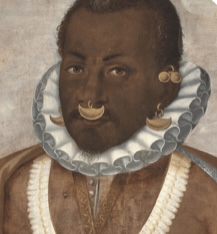
Slavery, Law, & Power
This website encourages its users to dissect and reflect on how institutional slavery has shaped the Americas (with specific emphasis on the US) by examining documents from the pre-colonization to post-American Revolution.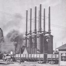
Teaching
Short Teaching Module: East Asian Developmental States in Global History
The essay examines the concept of the “developmental state” in East Asia, tracing its evolution and application across both capitalist and socialist regimes of the twentieth century.
Source
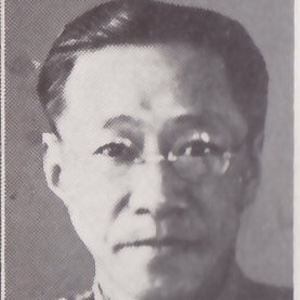
Weng Wenhao
Weng Wenhao (翁文灏, 1889-1971) was a distinguished Chinese geologist, politician, and educator who played a crucial role in shaping China's developmental state during the 20th century.
Review
Teaching Central America
Teaching Central America provides educational materials for K-12 educators with the goal of centering Central American history and culture in primary and secondary classrooms.
Review
Archives Portal Europe
This website presents records from dozens of countries, in over 20 languages, and from around 7000 diverse archival institutions total including the national archives of dozens of countries and other smaller institutions.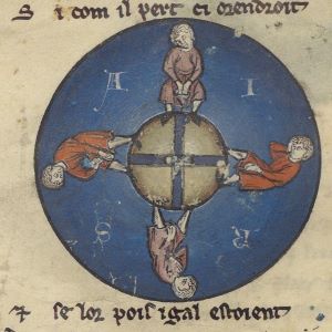
Review
Middle Ages for Educators
...the site boasts more than 40 videos and video playlists, more than 125 different resource links, and worked with more than 50 subject matter experts on this project.
Review
National WWI Museum and Memorial
Due to the immense amount of resources, we advise educators to enter the databases with an idea of what they want rather than attempting to browse.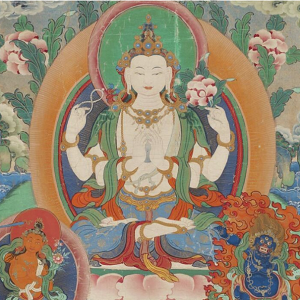
Review
National Museum of Asian Art
Because the museum is dedicated to Asian art, its educational resources are largely meant to teach students about art.
Review