Browse
Trade

Review
African Studies Center
The Center hosts or links to resources on just about every African topic an educator might want to focus on in the classroom.
Review
New Netherland Institute
Due to New Netherland’s intersection across several themes such as globalism, Indigenous contact, enslavement history, transatlantic trade, imperialism, religion, it may be a useful case study for educators wishing to teach students about 17th-century Europea

Review
Harry S. Truman Library and Museum
Among the student resources, teacher resources, and source databases, users will have access to materials with which they can discuss practically everything that happened in the world during Truman’s life (1883-1973) and even some things outside that time fram
Review
Minecraft Education
Because Minecraft offers such a wide variety of sources and topics, it can be incredibly helpful to teachers. However, because game-based play poses particular risks, such as the possibility that students will not learn and only focus on playing.
Review
Naval History and Heritage Command
Among the archive's digital collections users can find oral histories, biographies, underwater archeology resources, and infographics.
Review
The League of Nations Archive
The archive offers an extensive array of primary sources that can be used in the study of global history, international relations, transnational conflict, national border creation, migration, human rights, and historical personages.
Review
Visualizing Energy:
By combining written analysis with data visualizations, this project displays how energy policy can affect health and equity in a way that makes it interactive and easy to understand.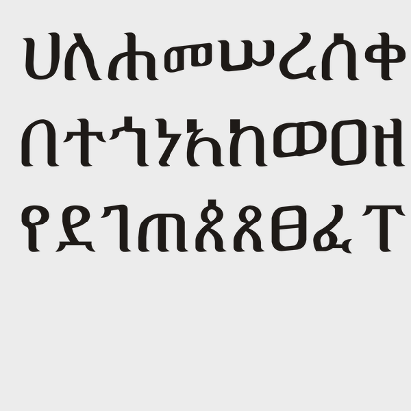
Source
Ge'ez Script
Ge’ez script is a script used in modern-day Eritrea and Ethiopia that dates back to the 1st century CE.
Source
Al-Umari’s Account of Mansa Musa’s Visit to Cairo
Mansa Musa was the leader of the Mali empire in the fourteenth century and reportedly the wealthiest person – allegedly ever. The empire covered modern-day Mali and parts of Guinea, Senegal, Mauritania, and the Gambia, and Mansa Musa expanded the territorial claim to include Gao and Timbuktu.