Science/ Technology

Victoria and Albert Museum
The video series How Was it Made? demonstrates a variety of craft methods: Japanese hikihaku obi, medieval stained glass windows, and book printing and binding.
Primer: Comparative History
Comparison is used in many different ways in world history, both implicitly and explicitly.
Primer: Big History
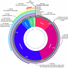
Big History is an approach to world history that takes as its subject the story of the whole of the Universe, from its creation, 13.8 billion years ago, in the Big Bang.

Salisbury Crags
Before about 1800, most people in the Christian world assumed that the earth was just a few thousand years old. But growing interest in fossils and strange geological formations made some people think the earth must actually be much older.
Short Teaching Module: European Maps of the Early Modern World
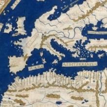
I use images of three historical maps for topics on colonial exploration and for interpreting historical evidence in undergraduate courses on history and historical methodology. I have several aims in using the maps.

From John Bartholomew, Literary and historical atlas of America
This unusual map appeared in a 1911 atlas of America by John George Bartholomew, a prestigious Scottish cartographer and geographer. In this map Bartholomew dramatized the provincialism of European cartography three centuries earlier.
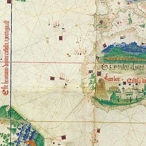
Cantino planisphere
The famous Cantino planisphere was made in 1502 by an anonymous Portuguese official at the request of Alberto Cantino, an Italian agent in Lisbon of Ercole d’Este, Duke of Ferrara.

World map by Henricus Martellus
Henricus Martellus was a German geographer and cartographer who worked in the Italian city of Florence from 1480 to 1496. His book of 1490, Insularium Illustratum ("Illustrated Book of Islands"), in which this map appeared, was widely circulated for two reasons.

World History for Us All
Its units and lesson plans utilize a range of primary sources, which revolve around three themes are: Humans and the Environment, Humans and Other Humans, Humans and Ideas.