Browse
Middle East
Review
Girl Museum
The Girl Museum makes important interventions by placing girlhood more squarely into the teaching of history, literature, culture, and arts on a global scale.
Review
National World War II Museum
The museum also offers a bank of student resources, primarily research tools such as the yearbook database and Research Starters, a bank of statistics and introductory ma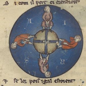
Review
Middle Ages for Educators
...the site boasts more than 40 videos and video playlists, more than 125 different resource links, and worked with more than 50 subject matter experts on this project.
Review
National WWI Museum and Memorial
Due to the immense amount of resources, we advise educators to enter the databases with an idea of what they want rather than attempting to browse.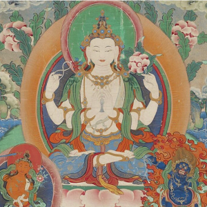
Review
National Museum of Asian Art
Because the museum is dedicated to Asian art, its educational resources are largely meant to teach students about art.
Review
The Armenian Genocide Museum Institute
As the AGMI states in its mission statement, it 'teaches universal lessons to combat hatred, discrimination, prejudice and apathy.'
Review
World Heritage Site Map
The most well-known part of their work is the naming and administration of World Heritage Sites.
Review
William J. Clinton Presidential Library and Museum
Overall, we found that though the Clinton Library offers a few lesson plans pertinent to global history, these are a bit underdeveloped and educators wishing to use them should strongly consider using supplemental materials

Review