Primary Source
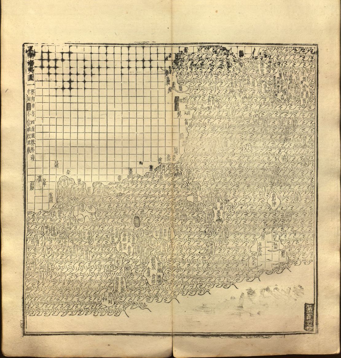
Guang yutu map

Annotation
The map of the “South-Eastern ocean barbarians” from the 1558 edition of the atlas Guang yutu. This atlas is divided into two parts, the first one deals with the geography of China, the second one with the Chinese borderlands, thematic maps, and maps of non-Chinese regions. This map shows the coast of China surrounded by many islands, all shaped more or less in the same way. These islands include countries and actual islands in East and Southeast Asia. Some of them are fictional and allude to concepts of geography nearly two millennia old at the time of printing the Guang yutu. This source is a part of the Premodern Chinese Maps and the Global Maritime World teaching module.
Credits
Library of Congress, Asian Division, Chinese Rare Books.