Browse
North/Central America

Review
Digital Archive of Latin American and Caribbean Ephemera
The Digital Archive of Latin American and Caribbean Ephemera offers a valuable option for virtual research and exploration.
Review
Age of Revolutions
Two features are particularly valuable for students and teachers: the thematic bibliography section and the ‘Teaching Revolutions’ section.Source
The Constitution of the Iroquois Nations
This text is the first seven of 117 clauses of the Constitution of the Iroquois Nation.
Source
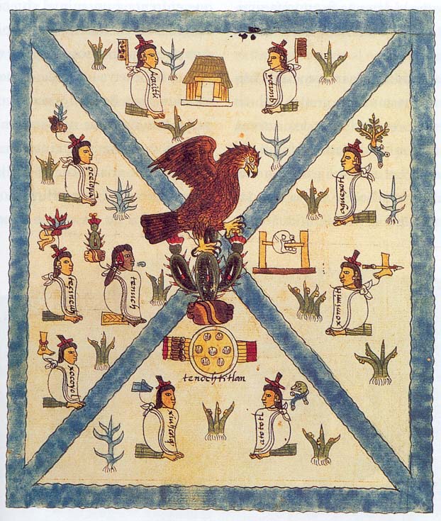
Mesoamerican Pictogram
Between 1541 and 1542 Antonio de Mendoza, viceroy of New Spain, commissioned a Mesoamerican Codex containing text and Aztec pictograms. This image is one example.

Review
Studs Terkel Radio Archive
As stated on the tin, the Studs Terkel Radio Archive is dedicated to digitising and archiving the numerous radio programs that Louis “Studs” Terkel (1912-2008) made throughout his prolific career.
Review
A History of the World in 100 Objects
Overall A History of the World in 100 Objects is a great resource to teach world history through visual culture in an accessible and succinct format for both school and college-level classes.
Source
Map of the Union Pacific Railway
This 19th century map illustrating the many places one could travel on the Union Pacific Railway is the product of a multitude of choices made by the mapmaker.
Review
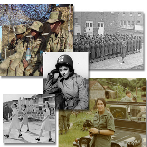
Betty H. Carter Women Veterans Historical Project
An outstanding feature of the site is access to high resolution images and 425 oral histories.
Review
Mediateca INAH
Mediateca INAH facilitates virtual engagements with over half a million interrelated digital reproductions of maps, paintings, sculptures, photographs, audio recordings, documentaries, books, as well as other textual primary sources.
Review