Post-Classical (500 CE - 1450 CE)
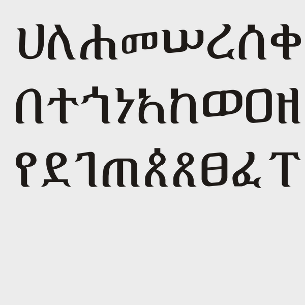
Ge'ez Script
Ge’ez script is a script used in modern-day Eritrea and Ethiopia that dates back to the 1st century CE.
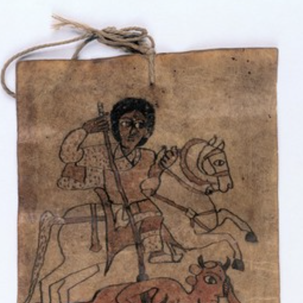
Ethiopian Healing Scrolls
Ethiopian healing scrolls are believed to eliminate sickness by ridding spirits and demons from an ill person. Originating sometime between the 1st and 8th century CE in the Axum empire, the scrolls are still used to this day, and still written in the Ge’ez script of the Axum empire.
Al-Umari’s Account of Mansa Musa’s Visit to Cairo
Mansa Musa was the leader of the Mali empire in the fourteenth century and reportedly the wealthiest person – allegedly ever. The empire covered modern-day Mali and parts of Guinea, Senegal, Mauritania, and the Gambia, and Mansa Musa expanded the territorial claim to include Gao and Timbuktu.

Ha’amonga ‘a Maui in Tonga
Ha’amonga ‘a Maui is a stone trilithon located on the island of Tongatapu in Tonga. A stone trilithon is a stone monument with two large vertical stones acting as a post for the third stone set horizontally across the top.

Altar from the Classic Maya Period
This limestone altar was created by the Maya culture sometime between 300 and 900 CE and found in Belize in Central America. The altar is round and was carved with twenty glyph blocks on top, which are now faded and display cracks but also attempts at repairs.

The Cahokia Mounds State Historic Site
The Cahokia Mounds State Historic Site is an archaeological site of a pre-Columbian Native American city located in southwestern Illinois, near St. Louis, Missouri.

Inca Miniature Tunic
This cotton and camelid hair tunic dates from the 14th-16th century CE in Peru, and was simply constructed from a rectangle of fabric, with a slit for the neck and open sides for the arms.
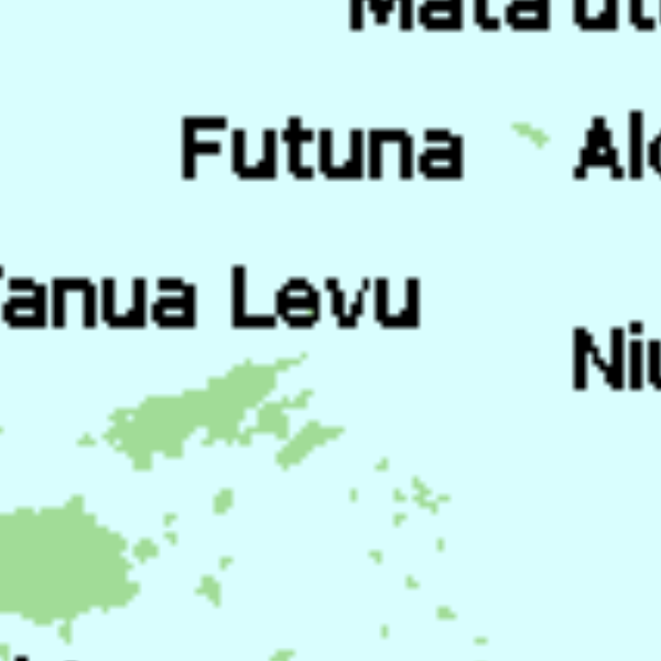
Tu'i Tonga Empire Map
The Tu’i Tonga Empire was an Oceanic maritime chiefdom centered on the island of Tongatapu, the main island of Tonga, and flourished between 1200-1500 CE.
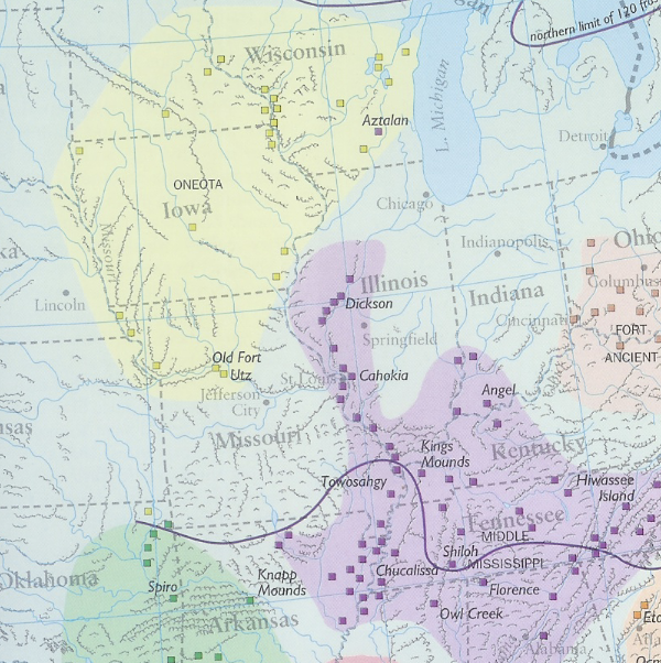
The Moundbuilders' Art: A Confluence of 'Ingenuity, Industry, and Elegance'
The amount of information and resources included in the exhibit are targeted and would likely not overwhelm a high school student. Alternatively, the site is full of resources that could be used separately, especially for younger students.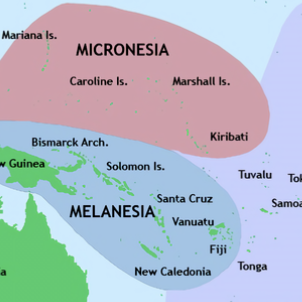
Pacific Culture Areas Map
This map illustrates the three dominant cultures in Oceania, Micronesia, Melanesia, and Polynesia, and which islands occupy each region. This map successfully highlights the number of island nations/cultures and the overall size of Oceania.