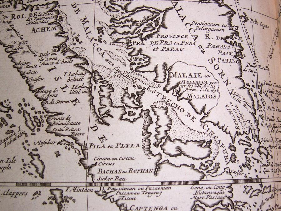
Map of Malacca, Châtelain

Annotation
This is a detail of a map depicting the port of Malacca and the surrounding territories from the Atlas Historique, an expansive Dutch encyclopedia compiled by Henri Abraham Châtelain and first published between 1705 to 1720. The port sits on the northern side of the Malacca Straits, a narrow stretch of water between present-day Malaysia and the Indonesian island of Sumatra. The Malacca Straits provides a link between the Indian Ocean and the South China Sea, offering the quickest sea route between India and China. In the early modern period, the bulk of sea-borne traffic from the Spice Islands, and from China and Japan, passed through the Malacca Straits, which made the port of Malacca vitally important to control shipping through the straits.
Credits
Melacca, Châtelain, Atlas Historique. Amsterdam, 1708-1720. 7 Vol.