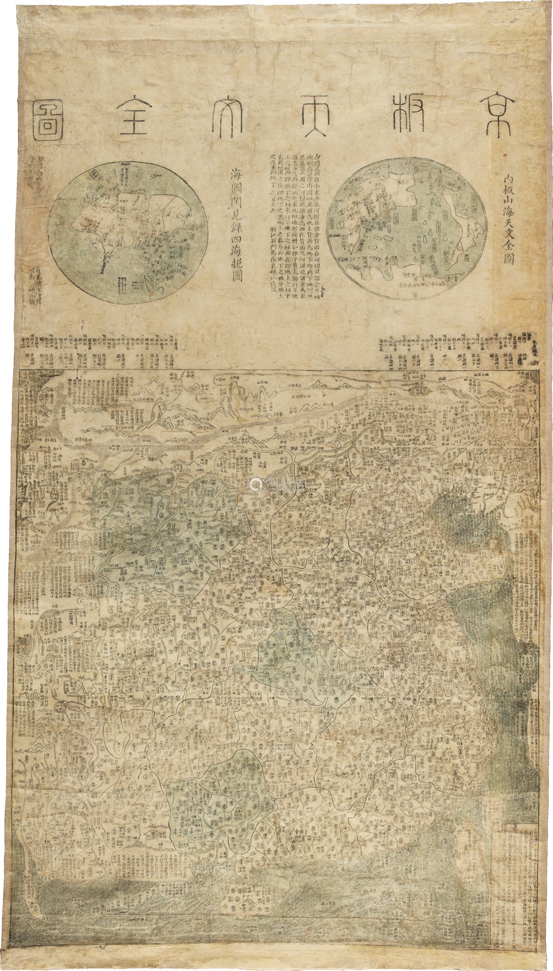
The Jingban tianwen quantu Map of the World

Annotation
Like many maps in the pre-modern and early-modern world, this map from China at the end of the 18th century reflected a deeply egocentric worldview. Steeped in a pervasive "sinocentrism," this map portrays China as the symbolic center of the world as well as the largest entity in both the western and eastern hemisphere as depicted at the top of the map, squeezing the rest of the continents into the edges. This map also illustrates the Chinese cartographic convention of including considerable narration on the map itself; European maps of the same time typically include very little writing (other than locational identifiers).
This source is a part of the Analyzing Maps methods module.
Credits
Rice University [https://digitalprojects.rice.edu/wrc/jingban-tianwen-quantu/exhibits/show/jingban-tianwen-quantu].