Browse
Africa
Teaching
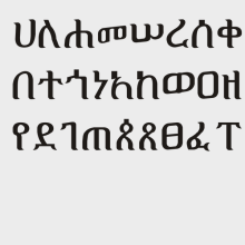
Source Collection: The Ongoing Discovery of the Aksumite Kingdom
What is the role of an archaeologist and a historian in rediscovering lost histories of ancient kingdoms like the Aksumite Empire?
Review
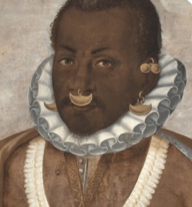
Slavery, Law, & Power
This website encourages its users to dissect and reflect on how institutional slavery has shaped the Americas (with specific emphasis on the US) by examining documents from the pre-colonization to post-American Revolution.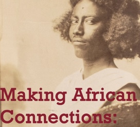
Review
Making African Connections
This site focuses on the decolonization of South African artifacts and stories.
Review
Girl Museum
The Girl Museum makes important interventions by placing girlhood more squarely into the teaching of history, literature, culture, and arts on a global scale.
Review
National World War II Museum
The museum also offers a bank of student resources, primarily research tools such as the yearbook database and Research Starters, a bank of statistics and introductory ma
Review
Middle Ages for Educators
...the site boasts more than 40 videos and video playlists, more than 125 different resource links, and worked with more than 50 subject matter experts on this project.
Review
National WWI Museum and Memorial
Due to the immense amount of resources, we advise educators to enter the databases with an idea of what they want rather than attempting to browse.
Review
World Heritage Site Map
The most well-known part of their work is the naming and administration of World Heritage Sites.
Review
African Studies Center
The Center hosts or links to resources on just about every African topic an educator might want to focus on in the classroom.
Review