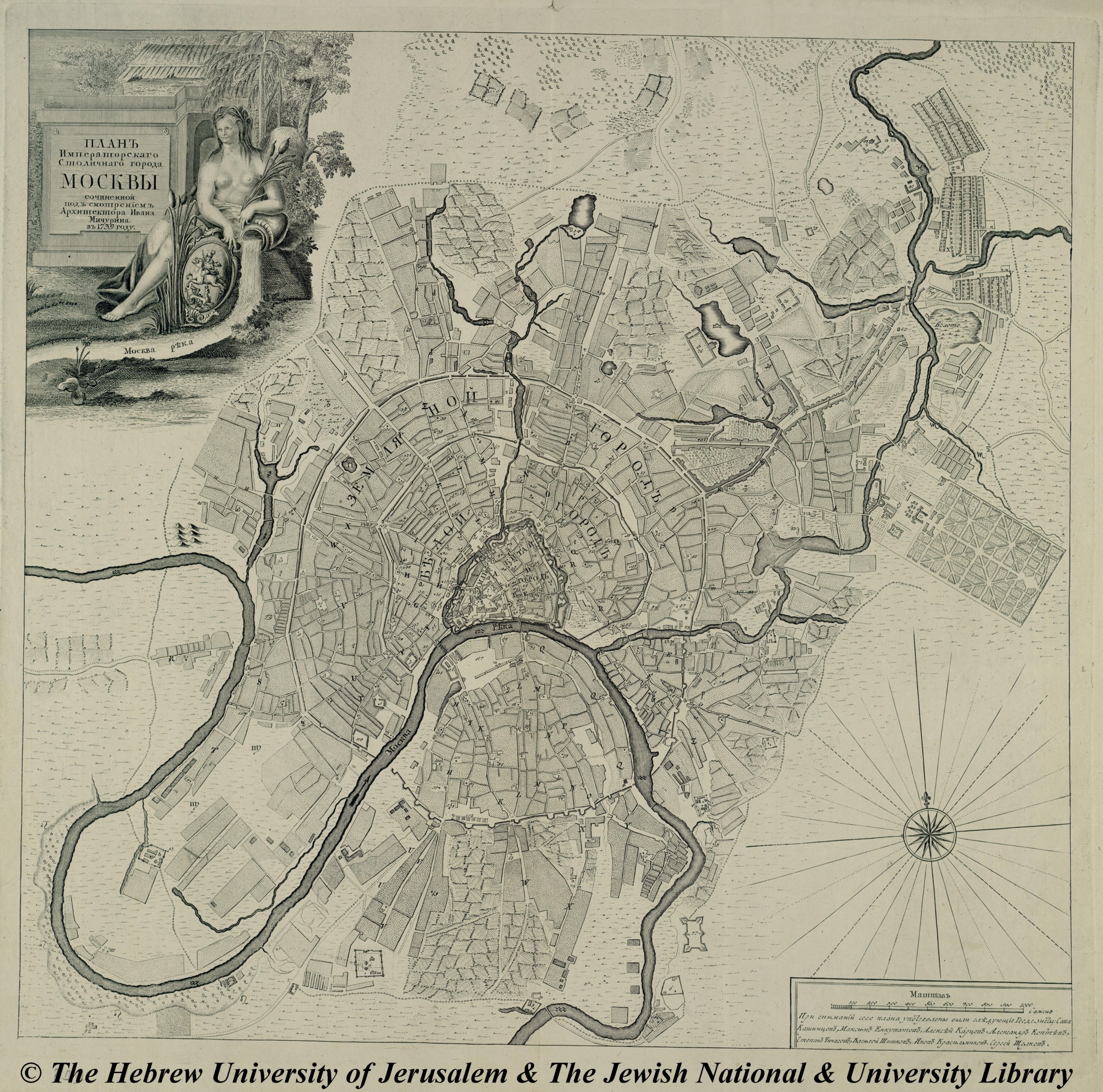
Plan for the City of Moscow

Annotation
This 1793 map of Moscow shows a relatively modest and compact city when compared to the sprawling metropolis of the 21st century. From this perspective, the viewer can see the remains of a fortification wall that once encompassed the entirety of the city. Additionally, the map illustrates the importance of waterways in city development and community life in the late 18th and early 19th centuries. Nearly all of the city has expanded to hug the rivers and canals or provide easy access to its banks. A possible historical exercise might be to compare this map to one of Moscow from the end of the 19th century to see not only how the city itself changed over time but also how the way it grew changed, expanding further and further from the waterways that once were central to its commerce and life.
This source is a part of the Analyzing Maps methods module.
Credits
The Hebrew University of Jerusalem [http://historic-cities.huji.ac.il/russia/moscow/maps/michurin_1739_moscow.html].